« prev
next »
Parnassus Antiques & Curios
|
Item Gallery
|
Items
|
DSC09405
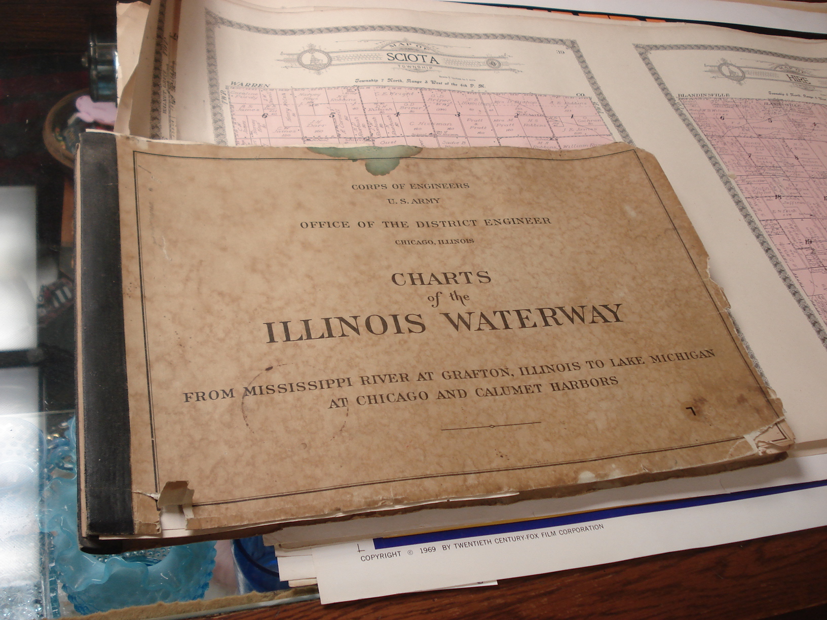
Charts of the Illinois Waterway, U.S. Army Corps of Engineers, 1951; Illinois River Charts, from Mississippi River at Grafton to Lake Michigan, Chicago and Calumet Harbor. Many beautiful color maps!
Image Info
Original Time Taken:
2015:12:13 13:55:30
Tags:
books
maps
RSS
|
Archive View
| Powered by
zen
PHOTO
