Parnassus Antiques & Curios | Item Gallery | Items | DSC09484
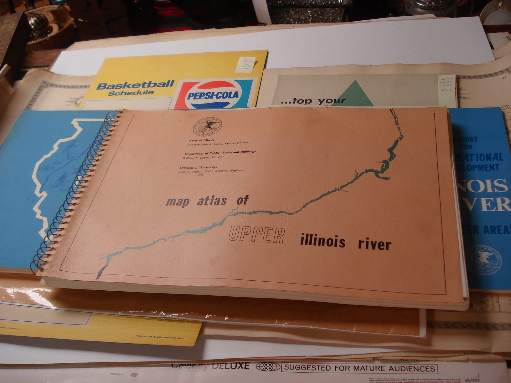
Map Atlas of Upper Illinois River, published by State of Illinois, Dept. of Public Works and Buildings, Division of Waterways, 1971. This wonderful atlas ncludes 208 maps of the Upper Illinois River and its flood plains. Beautiful blue color showing water areas, with clearly drawn topographical lines showing elevations of land forms and flood plain areas. This highly informative atlas identifies highways, riverside industrial sites, navigation aids, recreation areas, and more!
